Peru, U.S. and Chile Rehearse an El Niño Disaster Before the Next Catastrophe Hits
Around 300 personnel rehearsed collapsed-building rescue and humanitarian response north of Lima as Peru prepares for a potentially powerful El Niño.
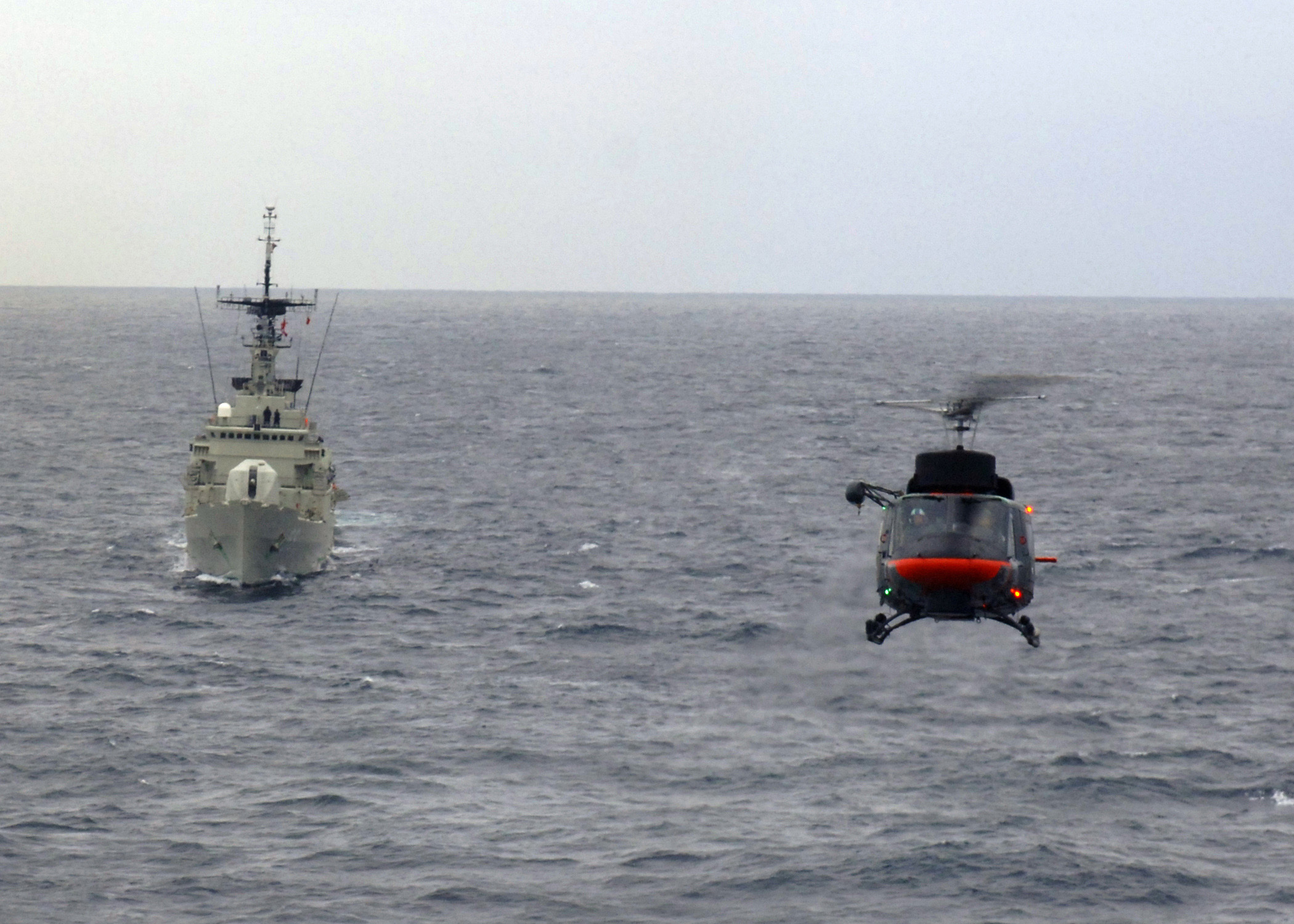
About 300 military and emergency personnel from Peru, the United States and Chile have rehearsed what happens after a powerful El Niño turns ordinary infrastructure into a rescue zone. The exercise north of Lima included collapsed structures, trapped victims and a simulated river crossing—tasks designed to test coordination before a real flood or landslide forces agencies to act under pressure.
The drill took place in the Ancón and Miramar area as part of UNITAS LXVII Peru 2026, a much larger multinational naval exercise involving more than 5,700 participants from 24 countries, 26 ships, two submarines and 21 aircraft. The specific disaster-response event was smaller, and viral summaries that call all 5,700 participants part of the rescue scenario blur two different scales.
Why use armed forces for a climate disaster? Militaries possess helicopters, boats, engineers, field hospitals, communications equipment and logistics units able to move when civilian infrastructure is damaged. In Peru, difficult geography can isolate communities between the Pacific coast, Andes and Amazon. A bridge failure or mudslide can turn a short distance into a days-long supply problem.
El Niño is not a storm sent toward one country. It is a warming pattern in the tropical Pacific that changes atmospheric circulation and rainfall across large regions. Along Peru's normally dry coast, unusually warm water can fuel intense rain, overflowing rivers, landslides and destructive debris flows. The effects vary by event and by location; forecasts describe risk, not a guaranteed replay of 1982–83 or 1997–98.
Peruvian authorities have identified hundreds of critical areas and say roughly 1.2 million people could face elevated risk as conditions intensify. Earlier in 2026, the government placed hundreds of districts under emergency measures after severe rainfall damaged roads and killed dozens. The country is therefore drilling against a documented vulnerability rather than staging a theatrical exercise around a hypothetical phenomenon.
The exercise tested an often overlooked problem: interoperability. A Chilean rescue team, a U.S. naval unit and a Peruvian civil-defense official may use different radio procedures, medical terminology and command structures. Equipment connectors may not match. Maps may use different reference systems. Practicing those frictions during calm conditions can save hours during a real emergency.
There is also a geopolitical dimension. UNITAS is a longstanding U.S.-linked naval exercise, and Washington has been expanding security and humanitarian cooperation with Peru. The United States plans to send the hospital ship USNS Comfort to Peru's Pacific coast in early 2027, when the anticipated El Niño may be near its peak. Critics may view disaster assistance as another channel for military influence in Latin America, especially amid U.S.-China competition.
That concern deserves discussion, but it does not make the rescue work unreal. Peru can benefit from foreign lift, medical capacity and satellite support while still asking what long-term capabilities remain after visiting forces leave. The most valuable exercise is one that produces local stockpiles, trained municipal teams and shared protocols—not only dramatic footage of international troops on a beach.
Preparedness also cannot substitute for prevention. Rescue teams arrive after a slope fails. Risk reduction requires clearing drainage, enforcing land-use rules, reinforcing bridges, moving vulnerable settlements and maintaining early-warning systems. Those measures are less photogenic and often more politically difficult than a multinational drill.
El Niño forecasts also carry uncertainty. Overstating certainty can cause panic and waste; understating it can leave communities exposed. Governments must explain confidence ranges, regional differences and practical triggers for evacuation. The goal is not to predict the exact street that will flood months in advance but to create options before rainfall closes them.
The exercise is therefore both reassuring and revealing. Three countries demonstrated that they can assemble a rescue force. It also highlights how much Peru depends on roads, communications and local authorities that may be overwhelmed before international help arrives.
What to watch next
Will the lessons from UNITAS be published and incorporated into local emergency plans? Which of Peru's identified high-risk zones will receive engineering work before the rains intensify? Will the USNS Comfort deployment add lasting capacity? And if the forecast weakens, will preparedness continue—or disappear until the next disaster warning?